There has been a cold snap recently and everyone knows that the costs of home heating this winter have risen sharply.
Firewood has traditionally been a cheap fuel, particularly for country folk… but it’s getting expensive now and harder to source.
But how does firewood compare with mains gas or reverse cycle aircon?
Comparing apples with apples is tricky so I have calculated the energy running costs on a per Megajoule basis. I haven’t included the capital, maintenance or depreciation cost of various heating systems. Warning… mathematics ahead!!!
To give some context and putting aside the complex science of thermodynamics and energy loses for one moment, boiling one litre of water in an electric kettle uses about one-third of a Megajoule of energy.
Turning up the thermostat, or putting more wood on the fire, will put more Megajoules into your room per hour, and the running costs will go up.
And let’s not go down the renewability, sustainability, greenhouse emissions rabbit hole for the moment.
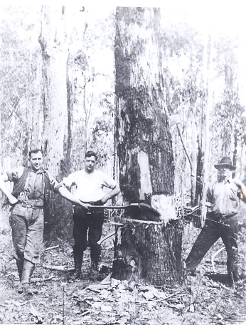
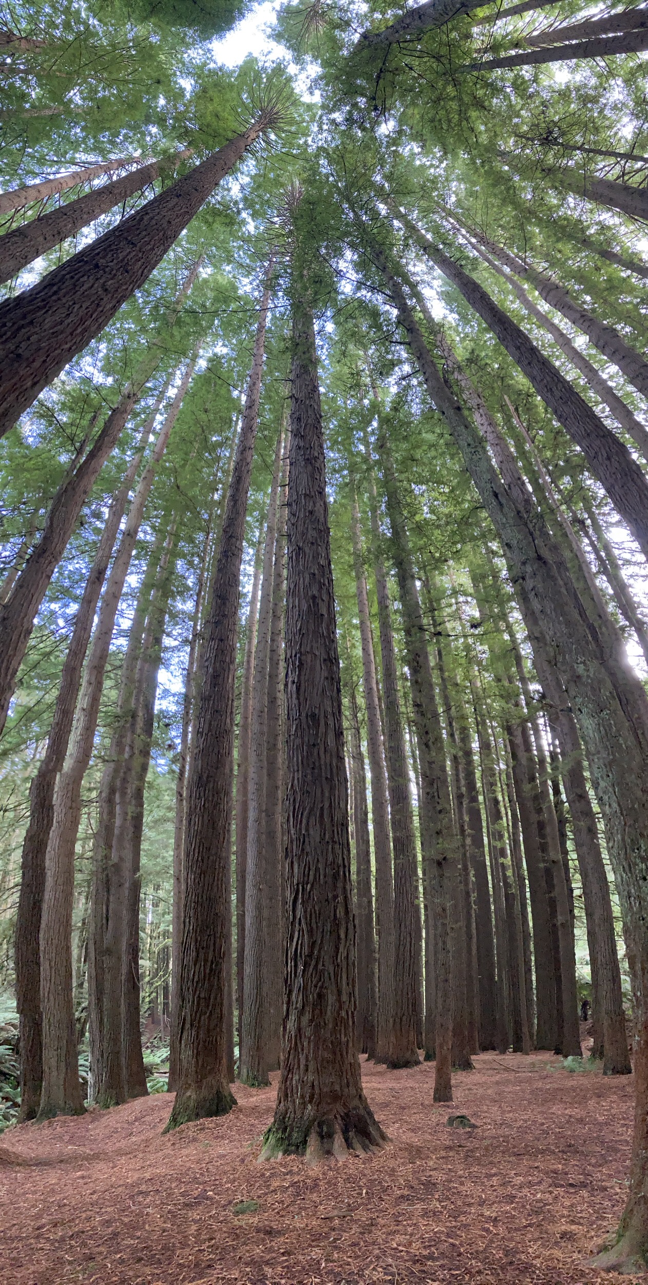
Firewood.
Buying firewood is problematic. I have always advocated buying air-dried firewood by weight rather than more dubious cubic metres or chords. And I’m also very wary when there is too much bark on it.
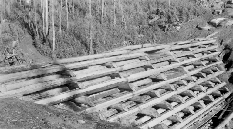
One cubic metre of solid wood in a standing tree or round log generally expands in volume up to 1.5 m3 when its cut into blocks, then split and neatly stacked. Or as much as 2.5 m3 when loosely chucked into a pile. That’s an awful lot of fresh air.
Therefore, what looks like one cubic metre of firewood in a tightly stacked, and slightly heaped, 6×4 trailer may only be equivalent to about three quarters of a cubic metre of solid wood.
Also, green wood can be more than 50% water, whereas air-dried firewood is ideally between 10-15%, while oven-dried wood has none. A large amount of energy is wasted trying to burn wet wood.
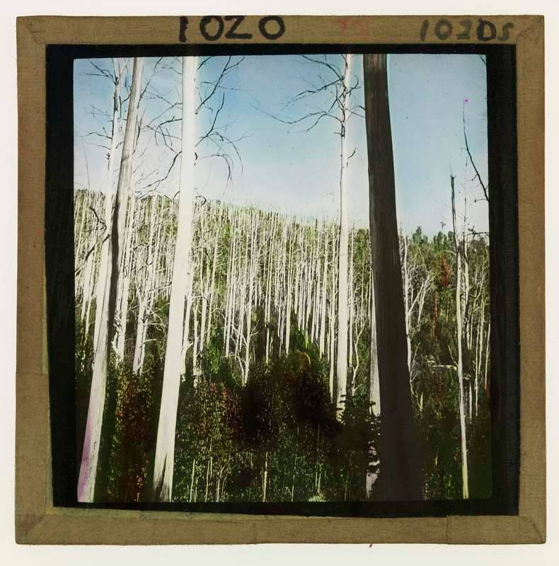
Getting a load of air-dried mixed species firewood cut, split and delivered to your home from a reputable timber merchant has recently increased in price from about $120 per cubic metre to about $300 per cubic metre. The dramatic increase has been caused by the closure of Victoria’s State forests to timber harvesting from 1 January, and firewood is now being imported from NSW forests.
Then there are always arguments about red gum verses mixed species, and you may find this a bit surprising… but it’s really important… ALL eucalypts have approximately the same calorific value, or energy content per kilogram, irrespective of species.
The energy content of eucalypt hardwood is about 18 Megajoules per kilogram @10% moisture content, or air-dried. Softwood pine has a high resin content and therefore has more energy per kg. And stinky brown coal briquettes had 26.6 Megajoules per kg.
But the density of air-dried eucalypts varies enormously from 673 kg/m3 for mountain ash up to 1121 kg/m3 for grey box. Mixed species firewood averages out at about 1000 kg/m3. So, a load of grey box in the trailer weighs nearly TWICE as much as the mountain ash for the equivalent amount of space.
So, if you are buying firewood on a volume or cubic metre basis it makes perfect sense to buy the heaviest, or densest, wood you can afford.
There are also a few other things to consider like ease of splitting and ignition, charring, tar content, burning time, coals, pesky splinters, manual handling, storage space, disposing of messy ash and potential smoke (mostly a problem from burning green wood).
Assuming you can still get the old delivered price of $120 per cubic metre (~750 kg of air-dried wood) which equals 16 cents per kg, then one Megajoule of energy from air dried firewood costs 0.89 cents (16÷18).
The more expensive wood at $300 per cubic metre (~750kg air dried wood) increases to 40 cents per kg, so one Megajoule of energy from air dried firewood costs 2.22 cents (40÷18).
By comparison, firewood in bags at the petrol station costs $1.50 per kg so one Megajoule is a hefty 8.33 cents (150÷18).
And a modern firewood heater burning air-dry wood gets about 70% efficiency. Open fires not so much – maybe only 20-30%.
So, the costs of one Megajoule of usable energy output from burning air-dry firewood in a wood heater varies from 1.27 cents (0.89 @70%) to 3.17 cents (2.22 @70%) depending on whether you paid $120/m3 or $300/m3.
A wood fire is not something you can turn on and off easily like gas or electricity. If it’s cold outside, and I’m home all day, with the wood heater settings on low and our large lounge room at a comfy 20 degrees, I might burn up to 50 kg of firewood (or 900 Megajoules). This equals 8 dollars of wood at the old price of 16 cents per kg, or less than one dollar per hour.
Natural gas.
For those fortunate enough to have access to natural gas, it retails about 3.7 cents per Megajoule (forget about the supply charges for a moment).
And a modern gas space heater can be about 78% efficient. The other 22% goes straight up the chimney.
Therefore, one Megajoule of energy from mains gas heating costs about 4.7 cents (3.7 @ 78%)
The large Rinnai 1005FT gas space heater in our family room puts out about 30 Megajoules of energy, and costs about 141 cents per hour (30 x 4.7) if its running on high. Obviously, if the thermostat gets turned down it uses a lot less gas.
Reverse cycle air conditioning.
Electricity prices vary throughout day, but in the evening until about 11 pm when off-peak kicks-in, they are about 66 cents per Kilowatt Hour (KWH) – excluding poles and wires charges.
And one KWH equals 3.6 Megajoules of energy. Therefore, one Megajoule of electrical energy costs about 18.3 cents (66 ÷ 3.6).
If you have a solar system with the old 66 cents/Kw feed-in tariff or a battery, the costs of electricity change considerably.
But here is the bizarre bit. A reverse cycle air conditioner acts as a “heat pump” moving heat from one place to another and can be 400% (or 4 times) efficient.
So, one Megajoule of energy output from a reverse cycle heating only costs about 4.6 cents (18.3 @ 400%).
Our Fujitsu 7.1KW split system is suitable for medium space and, on the maximum setting, puts out 25.6 Megajoules of heat, which costs about 118 cents per hour (25.6 x 4.6). And just like the gas heater, if the temperature setting is reduced the energy consumption goes down too.
Bar radiators.
The old-style bar radiators were 100% efficient because they converted all the electrical energy into heat.
And one watt equals one joule per second, so a 2400-watt radiator suitable for a small room puts out 8.64 Megajoules of energy (2400 x 60 x 60), which costs about 161 cents per hour (8.64 x 18.6 cents).
Summary – energy output.
So, there you have it …
- Firewood in wood heater (@ $120 /m3) = 1.27 cents per Mj.
- Firewood in wood heater (@ $300 /m3) = 3.17 cents per Mj.
- Mains gas space heater = 4.7 cents per Mj.
- Reverse cycle air conditioning = 4.6 cents per Mj.
- Bar radiator = 18.6 cents per Mj.
If you still have access to a bit of bush and can legally cut firewood yourself, the costs might only be $20 /m3 to cover petrol for the chainsaw and your car to go and collect it.
However, for those without the means to collect wood themselves, the recent doubling in the retail price of firewood has hugely diminished the benefits of heating your home with wood, but it’s still one of the cheapest.
Buying cheap firewood on the back of a battered ute, or for cash from some bloke in the pub, or advertised anonymously on Facebook, must be of dubious origin – either knocked-off from State forests, National parks, or roadsides, or maybe cut without a council permit from private land. It’s worth asking where it came from rather than buying stolen goods. The demise of commercial firewood contractors in Victoria’s native State forests will undoubtedly return us to the lawless bad-old-days. But don’t get me started…
In practical terms, heating large rooms in my home with either mains gas, a wood heather or reverse cycle costs less than one dollar per hour. I accept that many other things come into play like how well the room is sealed from drafts and insulated from the cold outside.
A wise old District Forester once said to me… there are four jolly good “warms” in a load of firewood. First, you get to cut it, then you get to split it, then you get to stack it, before you finally get to burn it…
I’m absolutely certain someone will want to challenge my logic and arithmetic. But, in the meantime, try to stay warm as best you can…