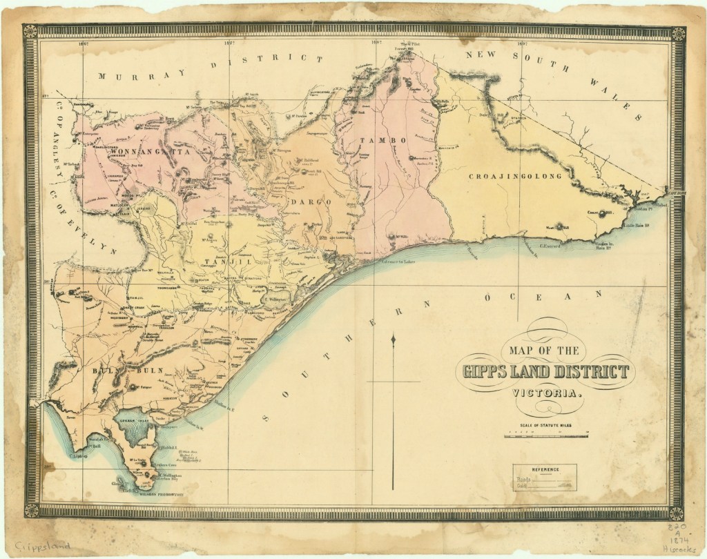
The landscape features that distinguish Gippsland, and which strongly influence the weather, and therefore the bushfire behaviour are:
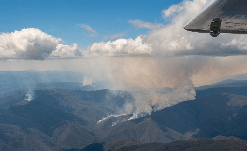
- the remote, sometimes inaccessible, heavily forested mountains with winter snow-capped alpine peaks which rise up steeply from the hinterland and foothills.
- major river valleys like the Macalister, Tambo, Buchan, Mitchell, Snowy and Cann Rivers which are generally orientated north-south and tend to funnel the prevailing weather patterns.
- the Great Dividing Range and the strong north winds that tumble over the ridges which often brings bushfires from the north-east of the state.
- the blocking effect of the Strzelecki Ranges which influences rainfall patterns.
- rivers and valleys which empty out onto the flat fertile plains, the wetlands and the inland Gippsland Lakes.
- the exposed southern coastline of Bass Strait from Wilsons Promontory to Point Hicks.
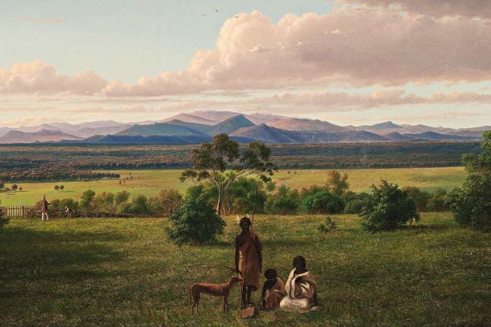
Far east Gippsland is one of the few places in mainland Australia where the forests extend unbroken from the mountains to the sea.
Eastern Victoria, and Gippsland in particular, sits directly within the Australian bushfire flume.
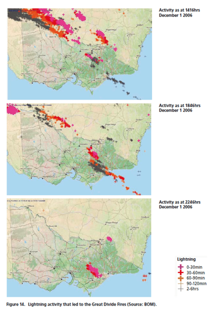
The thick forested landscape is subject to repeating weather cycles over the long summer months, with hot northerly winds, followed by strong south westerly changes and dry lightning storms, which can ignite many small fires in the mountains.
The heavy forest fuels are hard to fully extinguish without rain and can smoulder for weeks.
Inevitably, the whole drying cycle repeats itself and within a few days after the cool change, the strong north-west winds are back again to push any existing or new fires out of the bush.
Each time making a strong run with the north-west wind and then sweeping back into the bush with the cool south-west change.
Where it waits…
The end result of these repeating weather cycles interacting with the landscape and the eastern coastal forests is what I have termed the “Gippsland Zig-Zag”.
In combination with prolonged drought where natural fire barriers like creeks and tree fern gullies have dried out, these pesky campaign bushfires can burn for months.
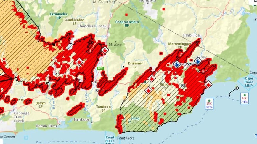
The Zig-Zag becomes the typical and infuriating pattern as bushfires move with the wind, both up-and-down, and in-and-out of the forest, while their overall footprint steadily creeps across the Gippsland landscape from west to east.
Another distinguishing feature of the campaign bushfires and the Zig-Zag is the stress it causes to neighbouring communities. The endless sleepless nights waiting and wondering when, and even if, the fire will come out of the forest. Occasionally emotions bubble over and tempers fray.
Major Zig-Zag bushfires in Gippsland include 1965, Cann River in 1982-83 which burnt for several months, while more recent campaigns include the Caledonia River in 1998, the Alpine fires in 2002-03, 2005-06, 2006-07, Aberfeldy/Seaton in 2013, the Snowy River Complex in 2014 and Black Summer 2019-20.
Note- The term Gippsland Zig Zag can be traced back to the campaign fires in 2003. It was the year that the fires burnt through the Omeo base camp on the footy field and the outskirts of Swifts Creek itself. I was leading the planning team at Swifts Creek and we had some Americans with us for the first time. Ben Rankin was the incident Controller. I recall one of the Americans who had recently arrived, made the remark about the zig zag shape of the fire and it sorta stuck. I even renamed the fire in the Incident Action Plan (as it was known back then) for the next shift but the Region and Head Office didn’t see the funny side. But everyone in the bush knew exactly what I was talking about.
 Victoria’s Forests & Bushfire Heritage