The South Face Road (SFR) climbs steadily for 25 km, in an east-west direction, across the southern slopes of the Baw Baw Ranges in Central Gippsland.
It links the Thomson Valley Road in the east to the Baw Baw Tourist Road in the west.
The South Face Road was without doubt the biggest and most complex road construction project that the Department had undertaken since the heady days in the late 1950s when the Forests Commission built the Tamboritha and Moroka Roads into the mountains beyond Licola.
It took 20 years to build at a direct cost of $25 M.
The entire design and construction project was managed in-house by the Department of Natural Resources and Environment with Len Wanke as the Chief Engineer and Wayne Beaton assisting.
The ground was steep with highly erodible soils and strewn with large granite boulders and the route included several major river crossings.
Major earth moving and side cuts were required because the road alignment ran across the side slope of the Baw Baw Ranges.
The thick mountain ash forests were wet, and it often snowed in winter, so earth works only progressed over the short summer months.
There were also many biodiversity values to protect including streams, rainforests and Baw Baw frog habitat.
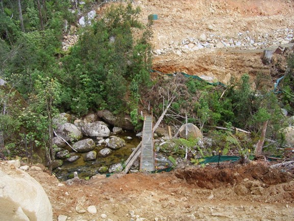
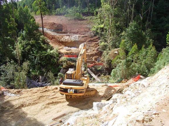
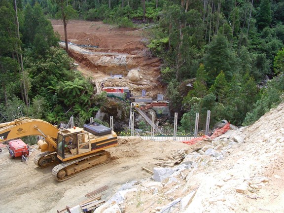
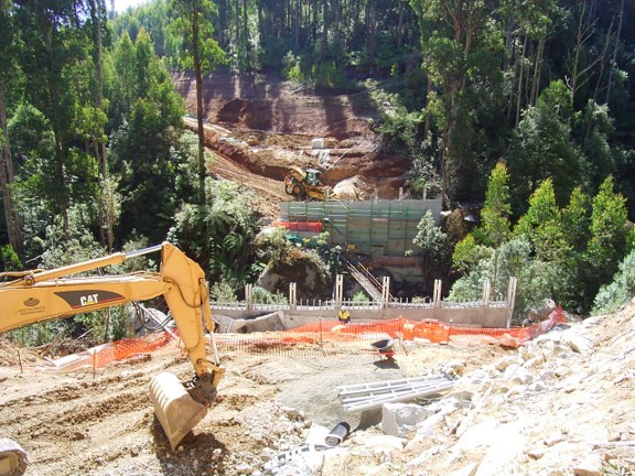
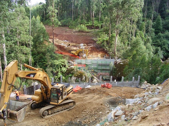
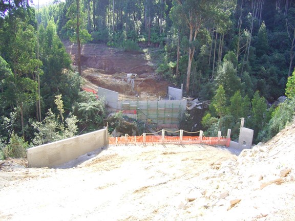
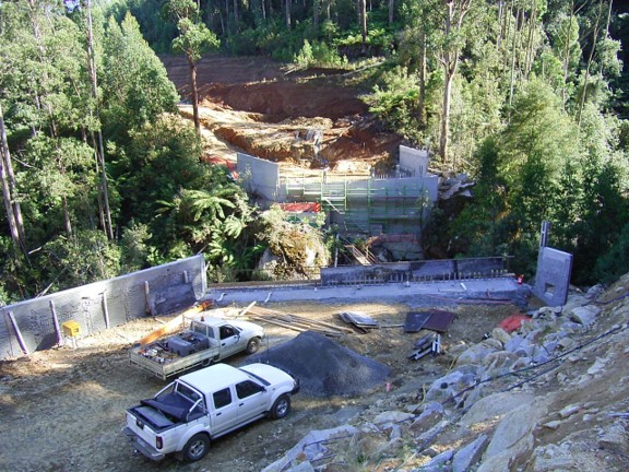
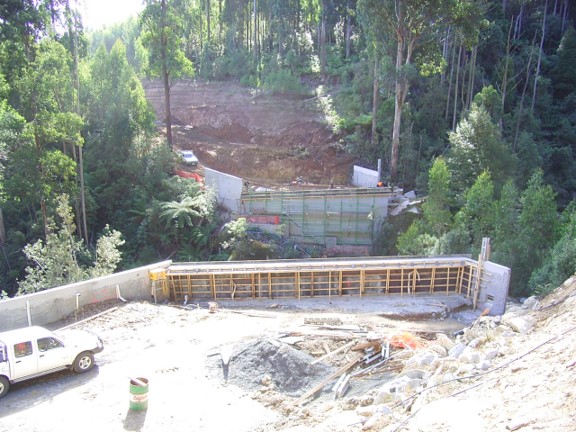
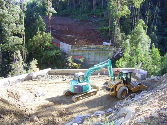
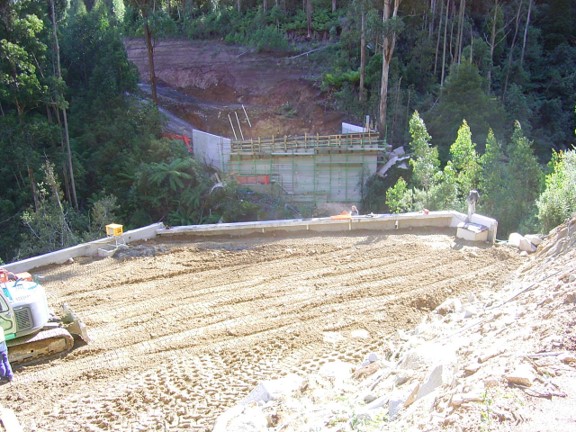
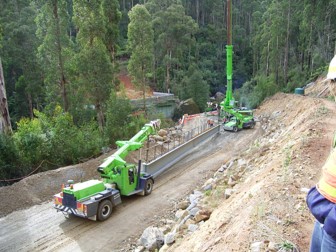
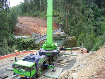
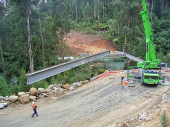
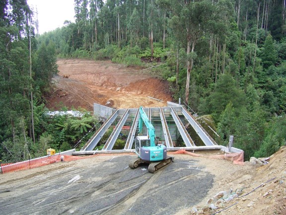
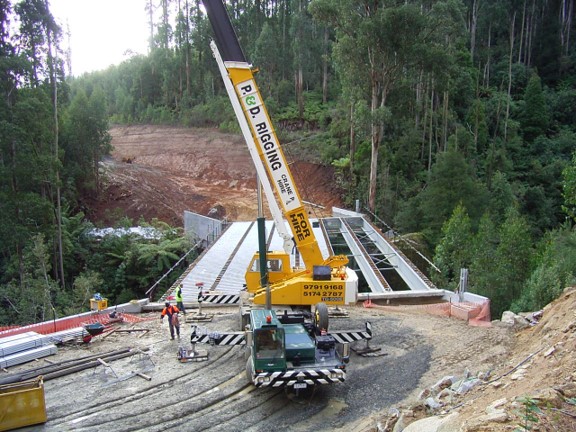
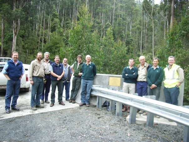
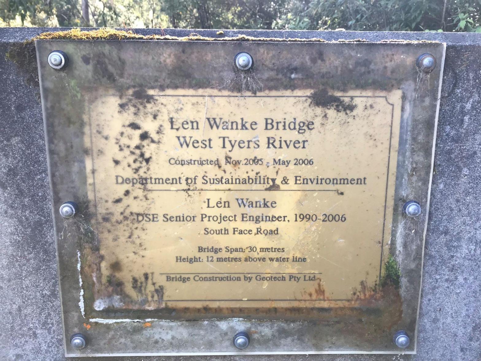
The major engineering obstacle was the bridge over the West Branch of Tyers River. It took six months build between late 2005 and mid-2006 and cost $1.5M. This series of photographs was taken by Peter West, the forester in charge of the project from Erica.
Now that the construction scars have healed the South Face Road is a very scenic drive through these magnificent wet forests. This is an obvious bonus for tourism at the Baw Baw snowfields at one end, and the settlement of Walhalla at the other.
The road was funded by the timber industry so it’s hard to imagine another project of this magnitude ever being undertaken again.
https://www.facebook.com/groups/forestcommisionheritage/posts/6070522822974017