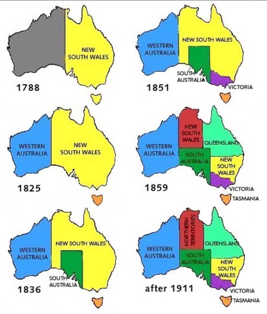
In 1836, the western boundary between colonies of NSW and South Australia, and what was later to become the border of Victoria, was decided as the 141 degree meridian of longitude east of Greenwich.
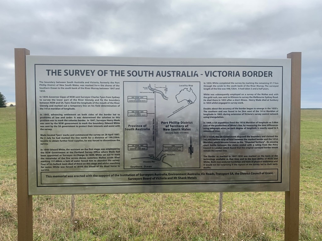
Three years later in 1839, Charles Tyers transferred from the Royal Navy and was given the task to precisely mark the 141 meridian near the mouth of the Glenelg River at Nelson so that the SA border could be clearly identified on the ground.
But due to inadequate survey equipment he marked the spot too far to the west by two minutes of longitude, or about 2 miles and 4 chains.
For map geeks – one degree of longitude is further subdivided into 60 minutes, and 1 minute of longitude at the equator equals 1 nautical mile which is 1.15 times longer than a regular mile. And a ship sailing at 1 nautical mile per hour is said to be traveling at 1 knot.
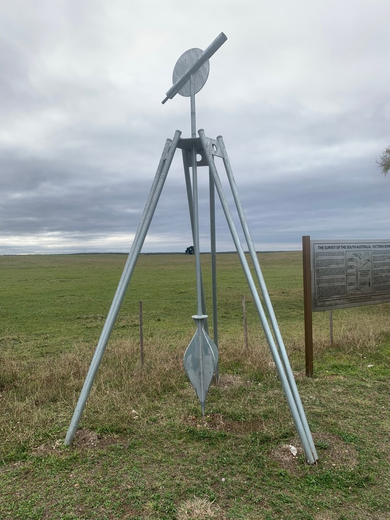
Beginning on 28 April 1847, surveyors Henry Wade, and later Edward White, began marking the 279-mile border between Victoria and South Australia with blazed trees, mounds of earth and piles of stone beginning at Tyers survey mark on the coast and heading north. They had a remarkable and arduous journey and finally reached the Murray River on 7 December 1850.
But there were lingering doubts about the accuracy of border and another survey 1868 with better equipment confirmed it to be in the wrong location.
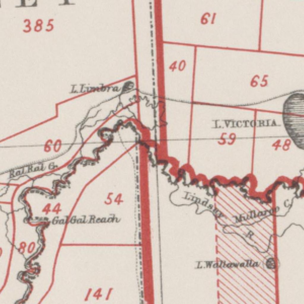
The surveying error is most apparent when pondering the odd kink in the junction of the three states (Vic, SA and NSW) near Mildura.
The South Australian Government wanted the border shifted back to its true position, but Victoria was having none of it.
The error resulted in more than 75 years of a protracted legal arguments between South Australia and Victoria over what was called the “Disputed Territory”.
The matter went to the Australian High Court in 1911 and finally to the Privy Council in London in 1914. South Australia lost the argument and forfeited more than 500 squares miles of land to Victoria.
If you look carefully at the plantation maps near the South Australian border at Rennick you can see evidence of the Disputed Territory and roads which run in a north-south direction along the 141 degree meridian. The Forests Commission began establishing pines on the other side of the disputed line in about 1940.
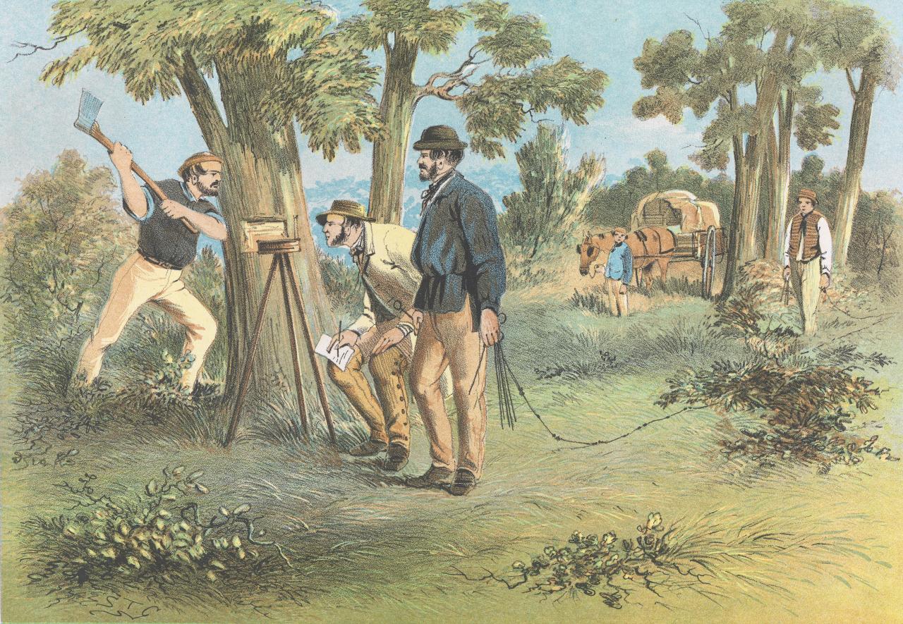
Main Image: “Surveyors” by colonial artist S T Gill (1865). National Gallery Victoria
https://en.wikipedia.org/wiki/South_Australia%E2%80%93Victoria_border_dispute