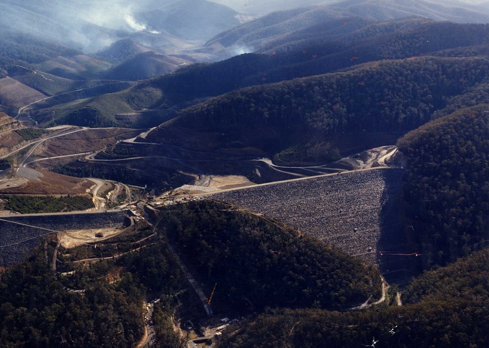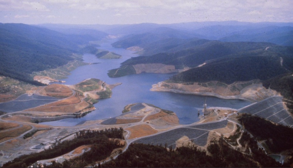
The decision to build the massive Thomson Dam in Gippsland was a result of a State Government inquiry into Melbourne’s water security in the late 1960s.
The dam wall and diversion tunnels were built in three stages between 1969 and 1985.
But unlike the Upper Yarra and Maroondah catchments which were “vested“ in the Melbourne and Metropolitan Board of Works (MMBW) and closed to public access, the Thomson catchment remained State Forest to managed by the Forests Commission and available for timber harvesting and some other uses.
It’s fair to say, that neither the MMBW nor the Forests Commission were entirely happy about the arrangements.
One of the major issues was the delineation of land to be inundated for water storage.
The wonderfully straight horizontal line along the 450 m contour of the high-water mark was no accident.
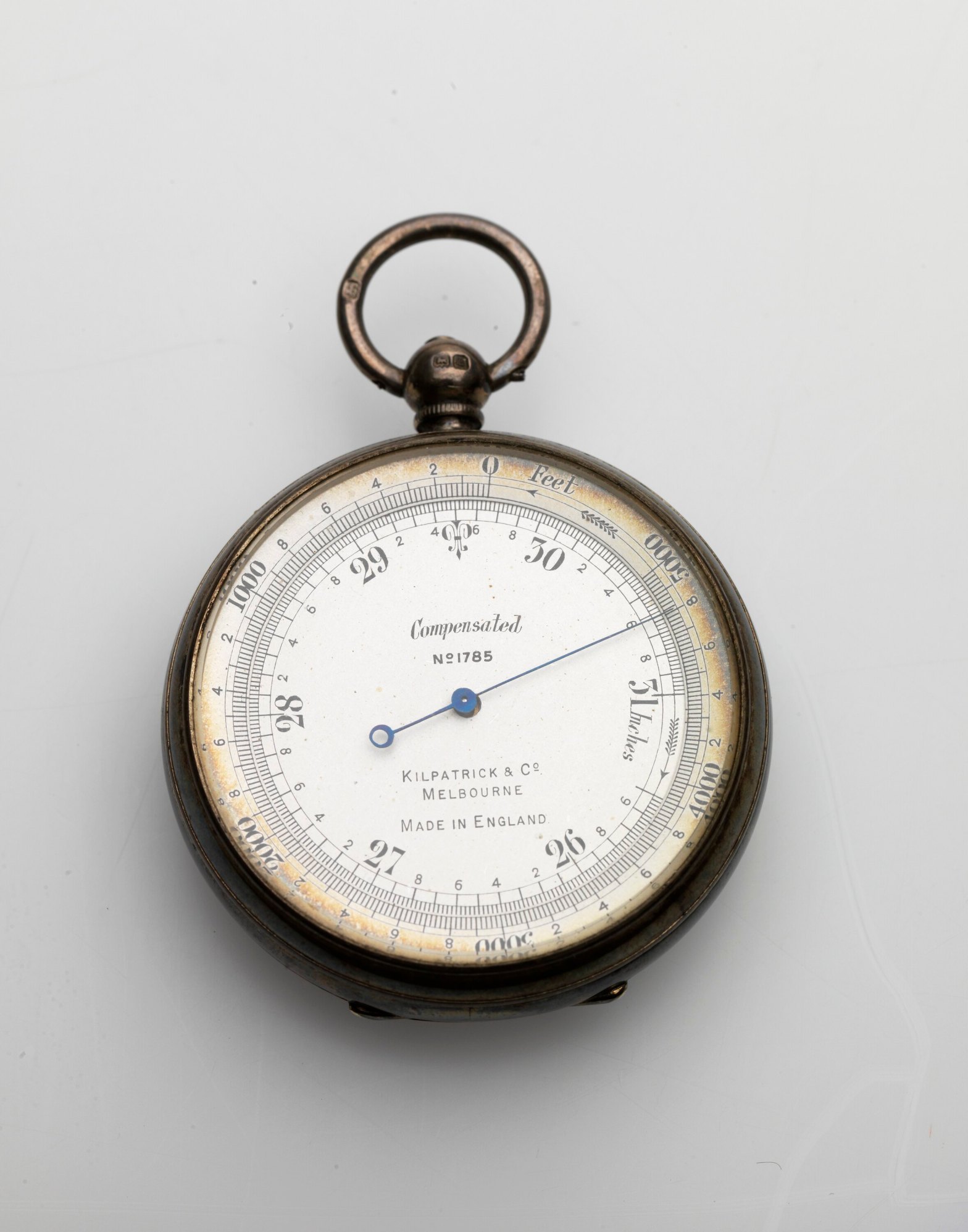
Forests Commission staff spend many months trudging through the thick scrub with an aneroid barometer marking the exact elevation.
The barometer relied on differences in atmospheric pressure to measure elevation. Regular radio calls were made back to the FCV Erica Office throughout the day to check on deviations in atmospheric pressures to recalibrate the gauge.
The sawlogs and pulpwood below the line were salvaged before MMBW bulldozers scraped the slopes bare and pushed all the debris into the bottom of the gullies ready to be burnt.
Above: Pocket Altimeter – Aneroid Barometer Type, Fitzpatrick & Co, Melbourne, circa 1900
Photographer: Jon Augier. Source: Museums Victoria